Pasadena yard drainage, for the hard storms.
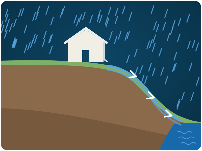
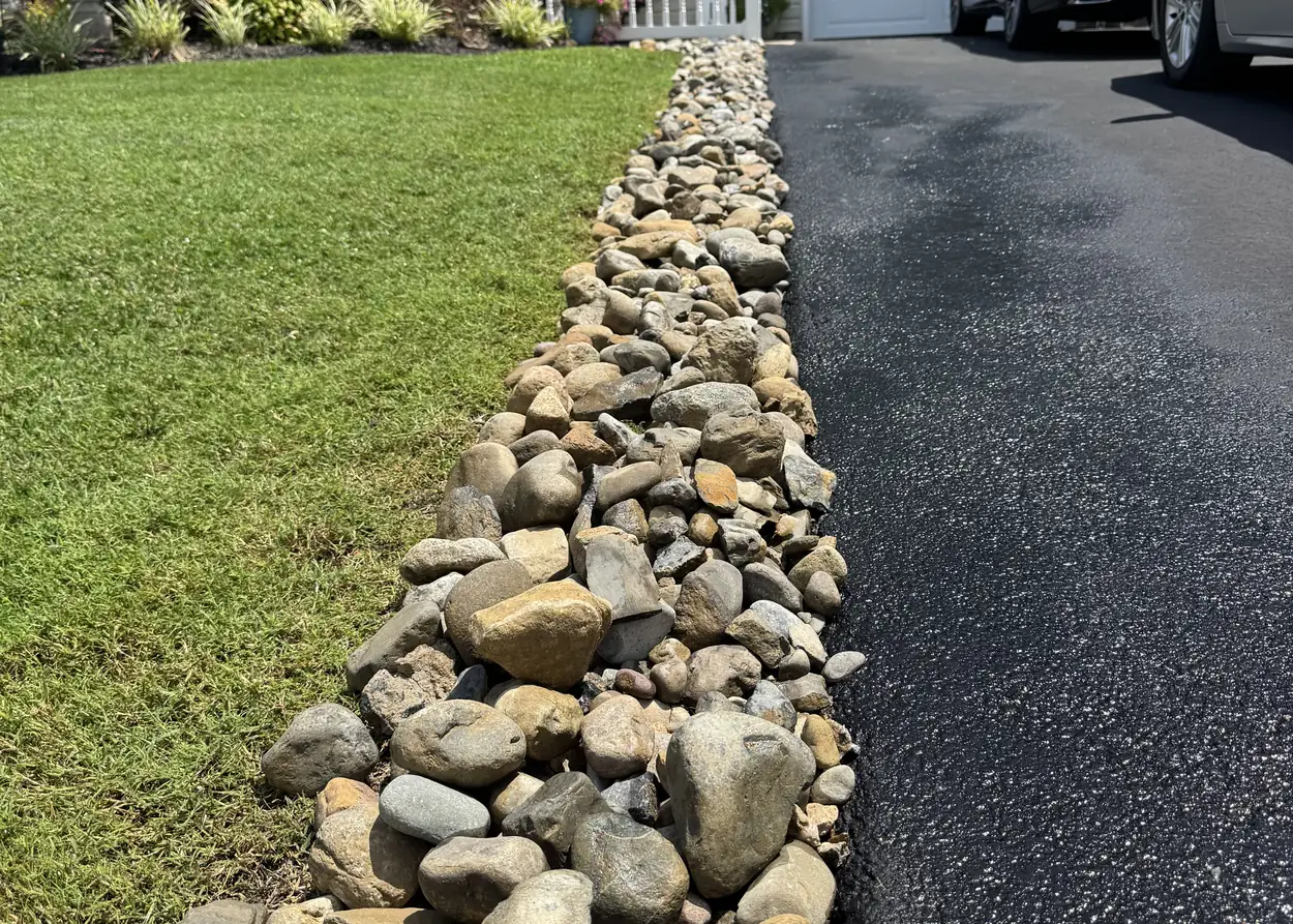
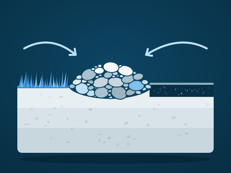
NOAA has logged flash flooding in Riviera Beach and on Mountain Road. For the runoff a hard storm pushes over a lawn or down a drive, we build river rock channels.
- Insured
- Locally owned
- Free estimates
Rain, storm by storm
2 inches in 30 minutes
recorded by an observer in Riviera Beach on August 30, 2001. The storm total there reached 5.53 inches.
- 11.52 inches measured by a rain gauge in the area when NOAA logged flash flooding in Riviera Beach on September 30, 2010. NOAA gives no number of hours.
- August 9, 2003 A driveway along Bellhaven Avenue in Pasadena was washed away, by NOAA's report.
Who can sort out yard drainage in Pasadena, MD?
We build river rock drainage for Pasadena yards, around Lake Shore and in Riviera Beach: a rock-lined channel or dry creek bed that gives storm runoff and downspout water a path across the lot. An observer in Riviera Beach recorded 2 inches of rain in 30 minutes on August 30, 2001. Our estimate is free.
Sources: NOAA, Anne Arundel County, the US Census Bureau, Maryland iMap and USDA NRCS. Checked on 11 October 2026.
Then it heads for tidewater
Three ways
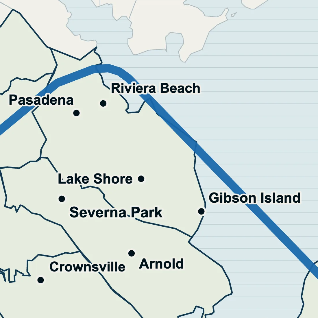
out of Lake Shore on the county's watershed maps: to the Magothy River, to Bodkin Creek and, by way of Rock Creek, to the tidal Patapsco.
- About 4 in 5 acres of Riviera Beach drain to Stony Creek, Nabbs Creek and Rock Creek.
Drainage past the Magothy.
Yard drainage
The rock channel we build, and what a quote needs.
Pasadena
Mowing, washing, gutters and lights up here.
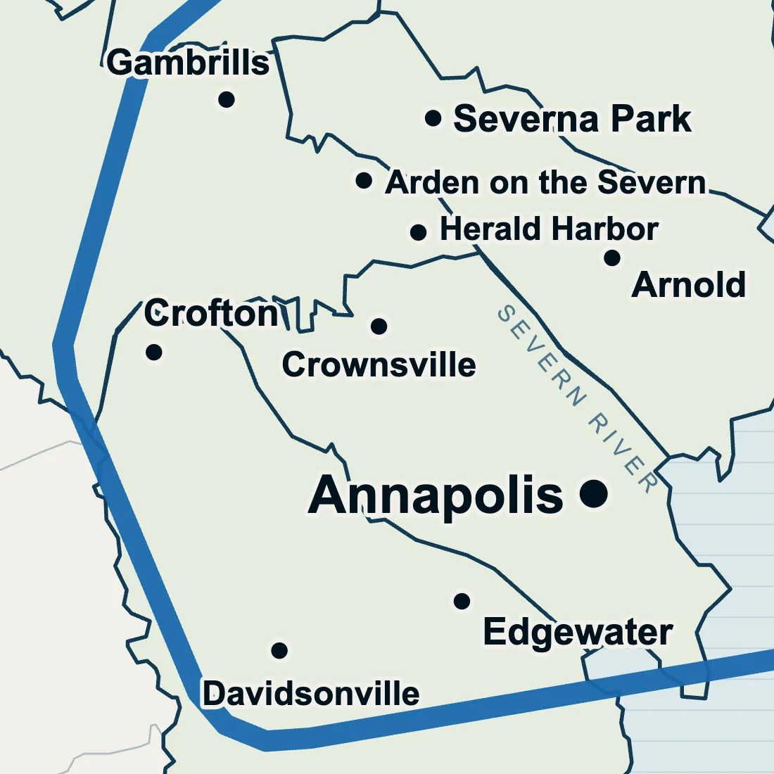
Crownsville yard drainage
Bogs, flood lines and river lots on the Severn.
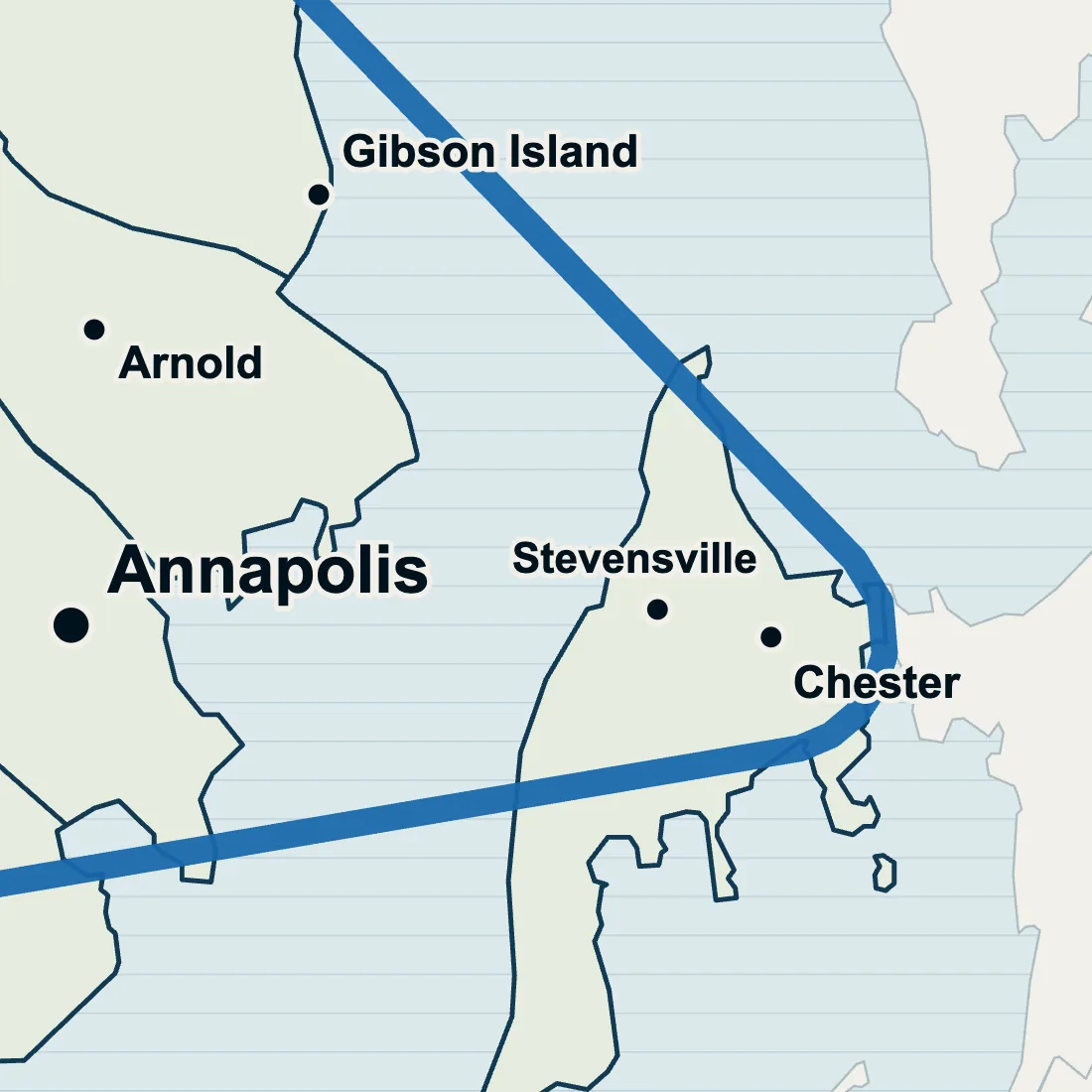
Kent Island yard drainage
Stevensville and Chester, beyond the Bay Bridge.
Pasadena yard water, asked plainly
My Riviera Beach yard is on a steep bank. Does that change a drainage quote?
It can, so describe the bank. About one acre in fifteen of Riviera Beach's land is mapped as Sassafras and Croom soils on 25 to 40 percent slopes, and about one acre in twelve of Lake Shore's land is in soil units on 15 to 25 percent slopes. Say where the water starts, where it ends up and what it crosses on the way.
Has Mountain Road flooded in a summer storm?
Yes. On July 8, 2011, NOAA logged flash flooding that closed Mountain Road at Tick Neck Road, about a foot of standing water on Mountain Road at Catherine Avenue, and several inches of water over parts of Mountain Road at Jacobsville. Those are reports about the road. A yard gets its own look, starting with what you saw in the last downpour.
Is my Pasadena yard inside the Critical Area?
Only the county's map can say for one lot. About two thirds of Riviera Beach's land and about a third of Lake Shore's land lie inside the Chesapeake Bay Critical Area as the state maps it, the land within 1,000 feet of tidal waters or tidal wetlands. The county has its own rules for work there, so mention how near the shore you are.
How much of Pasadena does the county's sea level rise plan map as flooded?
About 68 acres under its 2050 scenario and about 598 acres under its 2100 scenario. That is the flooding the county's 2023 sea level rise plan update maps in the Pasadena community, the largest figures of any community in its table. They are mapped extents for the whole community, not a forecast for one address. A rock channel deals with rain crossing a yard.
Get a free estimate.
Send the Pasadena address and tell us what the last hard rain did: where it ran, where it stopped and how long it stayed.