Yard drainage in Crownsville.
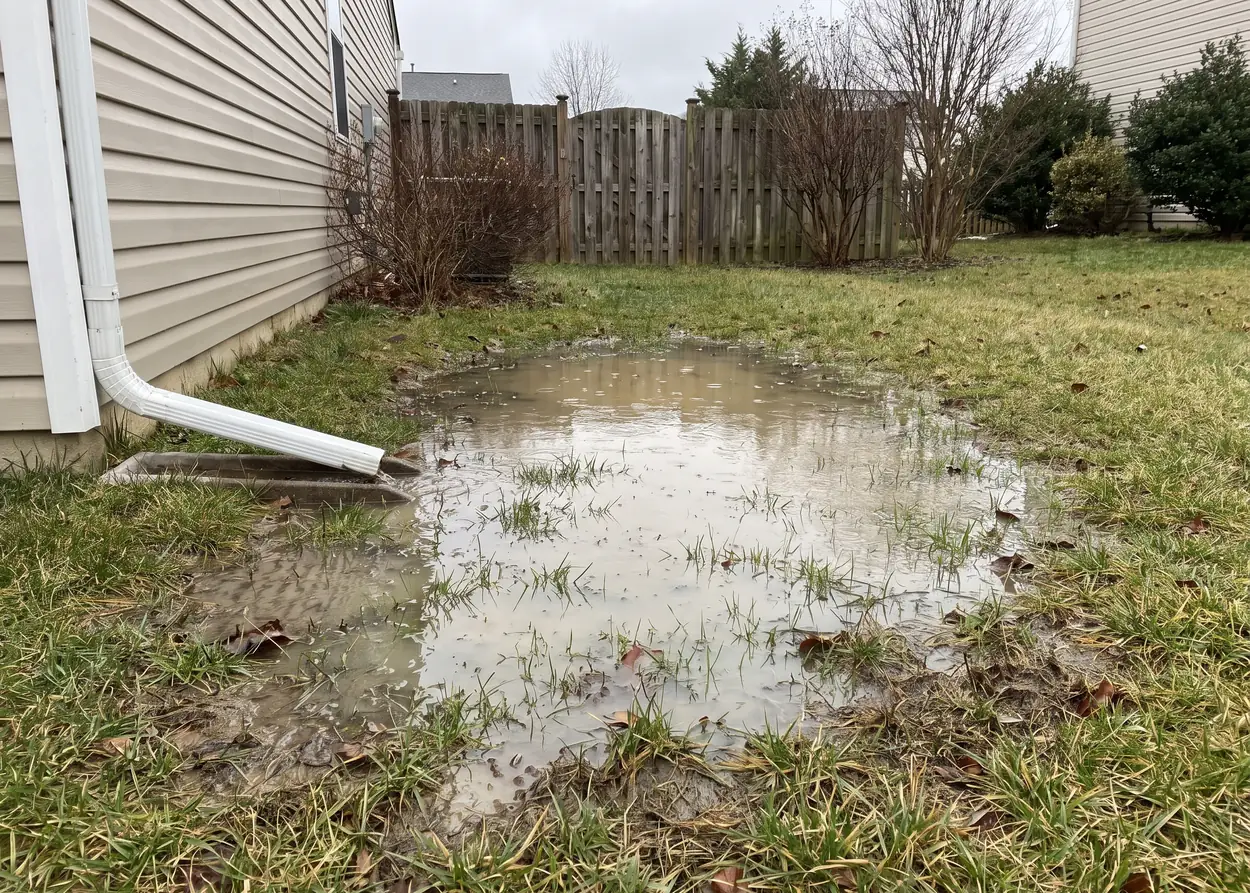
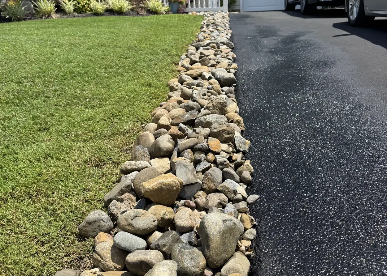
When rain stays put in the lawn or along the drive, we build a river rock channel or dry creek bed that carries it off.
- Locally owned
- Insured
- Free estimates
Herald Harbor, land and river
Almost a third
of the Herald Harbor Census place is water, the tidal Severn River.
- 5, 6 and 7 feet Effective FEMA flood maps touching Crownsville and Herald Harbor show AE zones at these base flood elevations.
Who can help with standing water in a Crownsville yard?
We can. We build river rock drainage in Crownsville, in Herald Harbor and in Arden on the Severn: a dry creek bed or a channel of river rock that takes water from a low spot or a downspout and carries it off. Say where it pools and how long it stays, and the estimate is free.
Sources: FEMA through Maryland iMap, Anne Arundel County and its draft Region 6 Plan, Wikipedia (from the Census Gazetteer), NOAA and Maryland OneStop. Checked on 11 October 2026.
Water that comes with the place.
Rare bogs
Sphagnum bogs, and an Atlantic white cedar bog near Sherwood Forest, are among the rare habitats of the Crownsville planning region. Not every wet place wants fixing.
September 6, 2009
NOAA records Sunrise Beach Road closed by flooding that day, when an observer near the area reported 2.75 inches of rain in around an hour.
Three roads the draft plan names
The county's draft Crownsville plan lists River Road, Defense Highway and Sunrise Beach Road as roads with repetitive flooding.
Drainage up the Severn and across the county.
Yard drainage
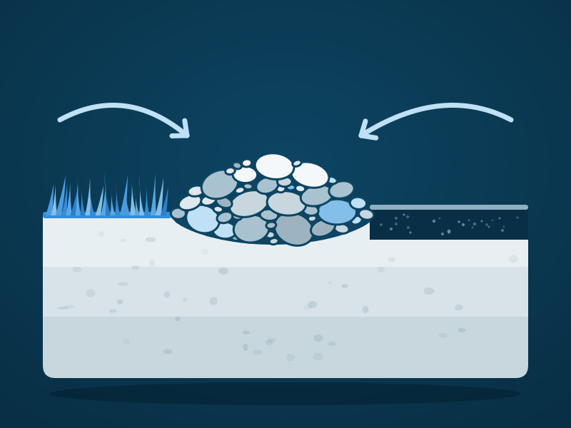
What a river rock channel is, in one drawing.
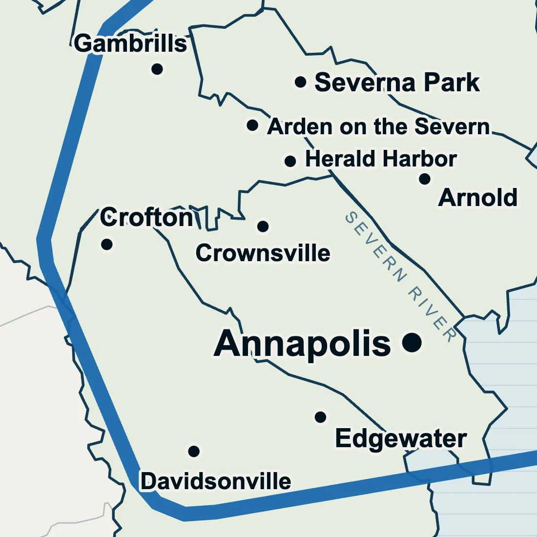
Crownsville
The town page, service by service.
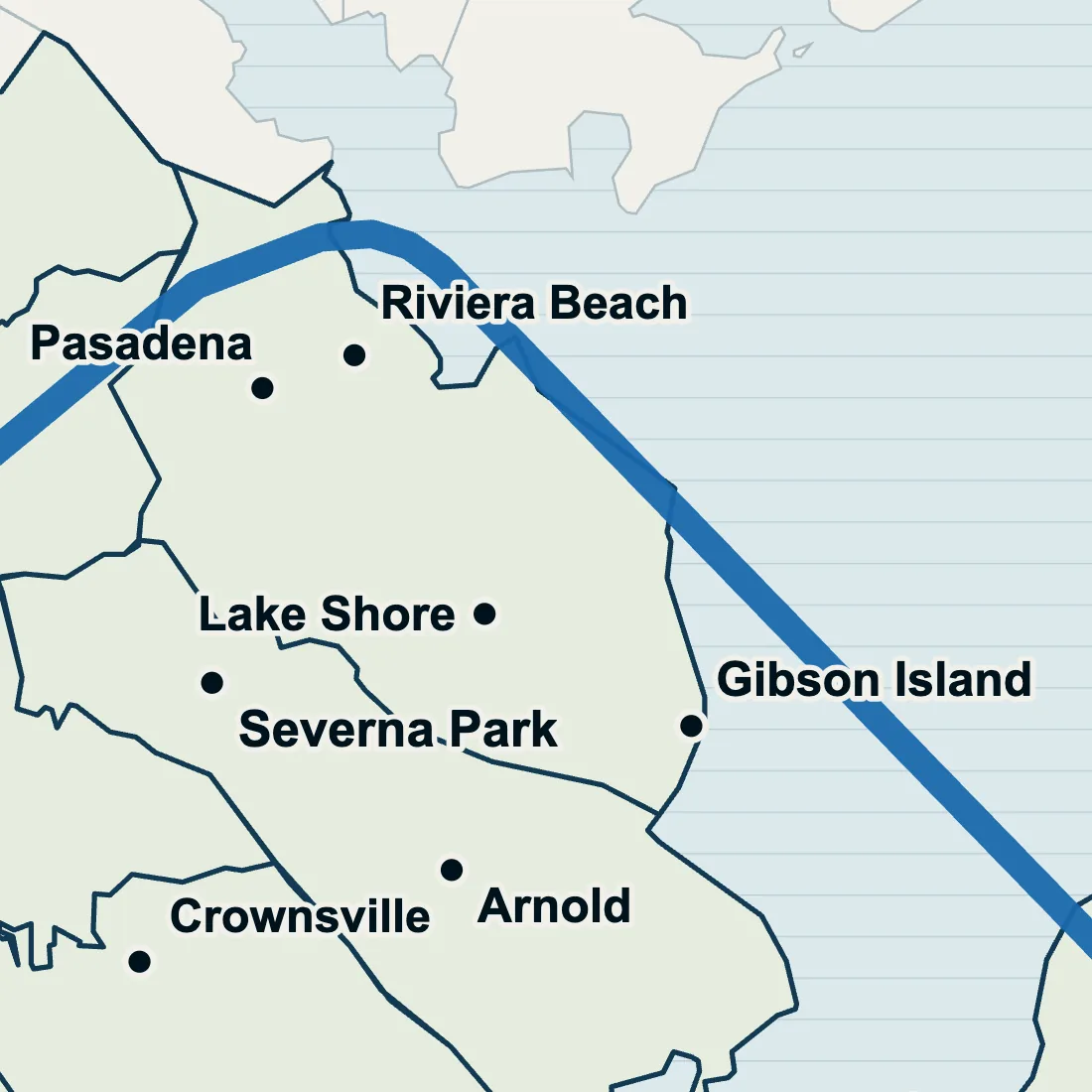
Pasadena yard drainage
North of the Magothy, where the storms are logged.
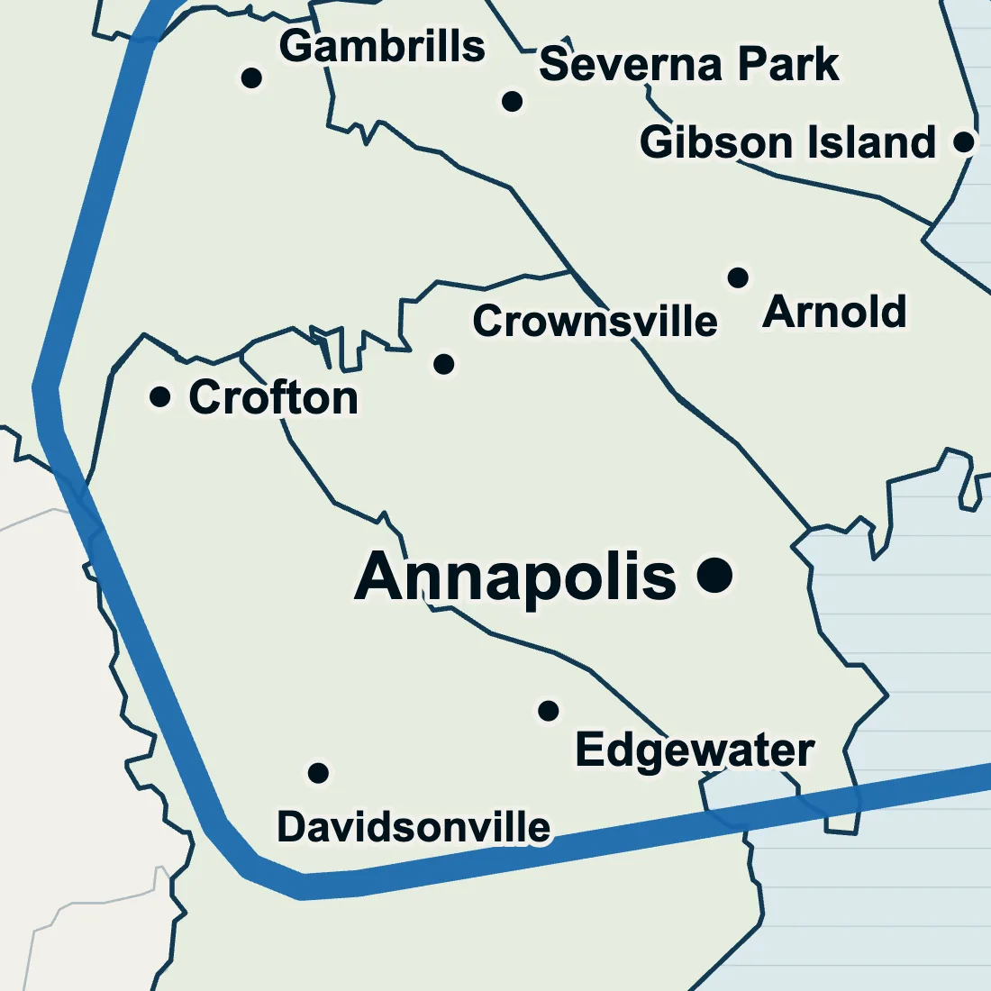
Crofton yard drainage
Well drained on the map, wet in the yard.
Questions from Crownsville
Do I need a permit for drainage work in Crownsville?
You may. In Maryland, any project that disturbs 5,000 square feet or more of ground, or 100 cubic yards of earth, needs an approved erosion and sediment control plan first. That is the state's line and not the whole answer: near the water the county's Critical Area rules apply as well, so say how close the water is when you ask for a price.
Which creeks run by Arden on the Severn?
Four, on the county's stream maps, which name Plum Creek, Gumbottom Branch, Cypress Branch and Indian Creek Branch in or along Arden on the Severn. Which way your own lot leans shows after a rain, so say where the water runs when you describe the wet spot.
Has any stormwater work been done in Herald Harbor?
Yes. County restoration records for Herald Harbor include three finished stormwater projects: a stormwater management retrofit at Valentine Creek, completed in 2017, and step pool storm conveyances at Buttonwood Trail, completed in 2016, and at Bonaparte Road, completed in 2017. Those are projects in the county's records, none of them ours. Rain that sits on your own lot is where a rock channel comes in.
Where does the water in a Crownsville storm drain end up?
In the nearest waterway or stormwater facility. Storm drains in Anne Arundel County carry runoff, untreated, to the nearest waterway or stormwater facility, and they are not connected to the sanitary sewer. Which river comes after that depends on the lot: county watershed maps split the Crownsville Census place between two rivers, the Severn and the South, while Herald Harbor and Arden on the Severn lie wholly in the Severn River watershed.
Get a free estimate.
Describe the wet spot and say whether the house is in Crownsville, Herald Harbor or Arden on the Severn. The answer comes back as a text or a call.