Yard drainage on Kent Island.
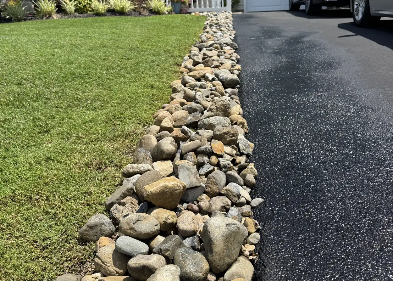
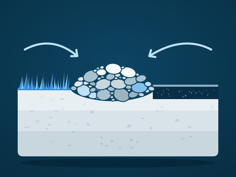
Most mapped land in Stevensville and Chester is in hydrologic soil groups C or C/D. Group C soils have moderately high runoff potential when thoroughly wet, and a river rock channel gives that water a way out.
- Free estimates
- Insured
- Locally owned
What the soil maps say
90.2%
of Chester's mapped land is in hydrologic soil groups C or C/D, against 79.6 percent in Stevensville.
- 11.9% of Stevensville's mapped land is tidal marsh and frequently flooded soil, such as Honga peat and Longmarsh and Indiantown soils.
Who does yard drainage on Kent Island?
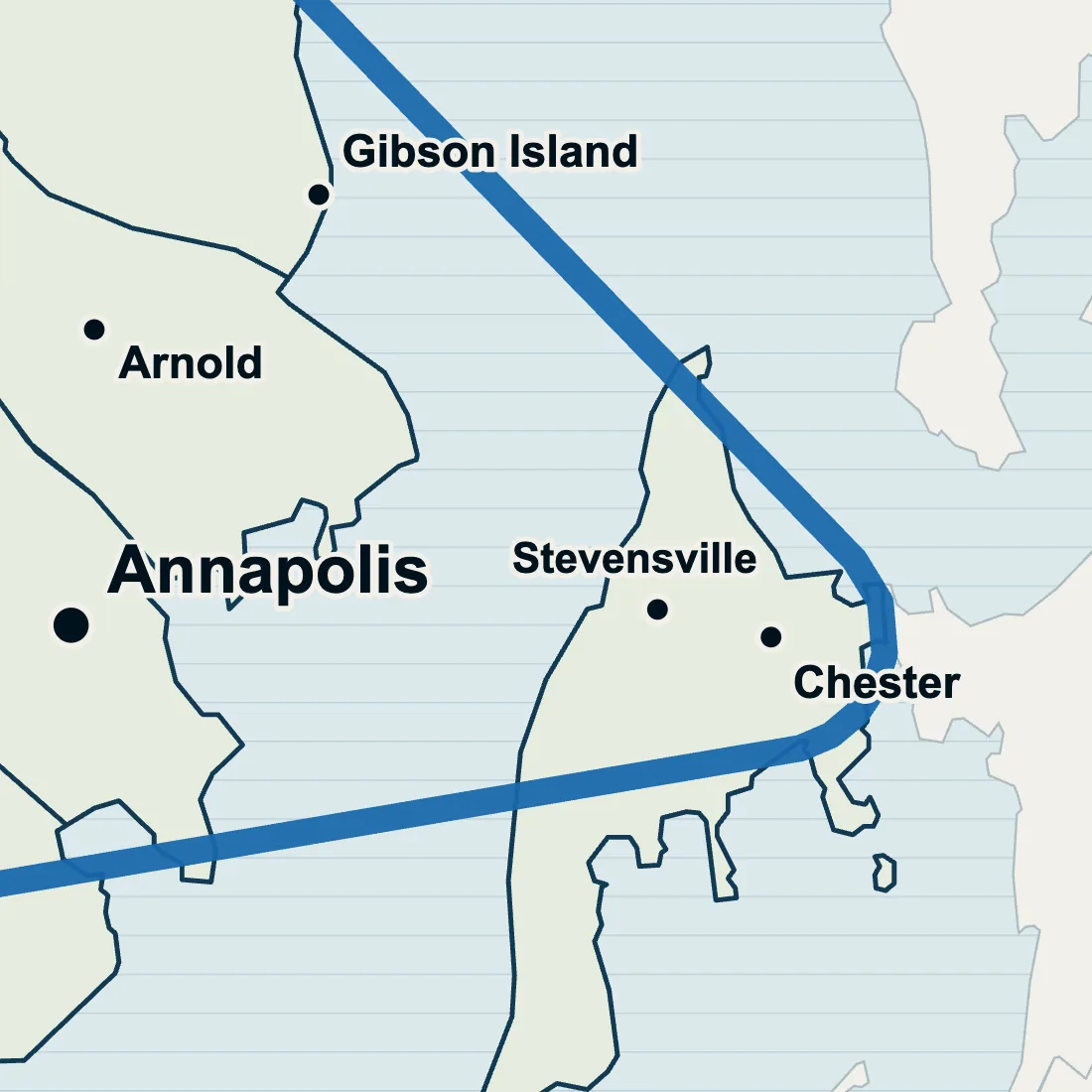
We do, in Stevensville and Chester, across the Bay Bridge from Annapolis. Tell us where the water sits, what brings it on and how many days it lingers, and we price a rock channel or dry creek bed for that spot, free. Chester's mapped land is 90.2 percent in hydrologic soil groups C or C/D.
Sources: USDA NRCS Soil Data Access and its National Engineering Handbook, the US Census Bureau, NOAA's Storm Events Database, OpenStreetMap and a University of Maryland Extension brief. Checked on 11 October 2026.
Days the water had nowhere to go
5.64 inches
of rain fell in Stevensville on July 12, 2013, and the storm caused flash flooding on Kent Island.
- August 13, 2020 Flooding closed Main Street in Stevensville east of Duke Street.
- The same day in Chester, flooding closed MD Route 18 at Piney Creek Road and Postal Road at Union Wesley Circle.
Drainage over the bridge and back.
Yard drainage
River rock channels and dry creek beds.
Kent Island
Lawns, gutters and lights, island side.
Annapolis Neck yard drainage
Coastal flood zones and Critical Area rules.
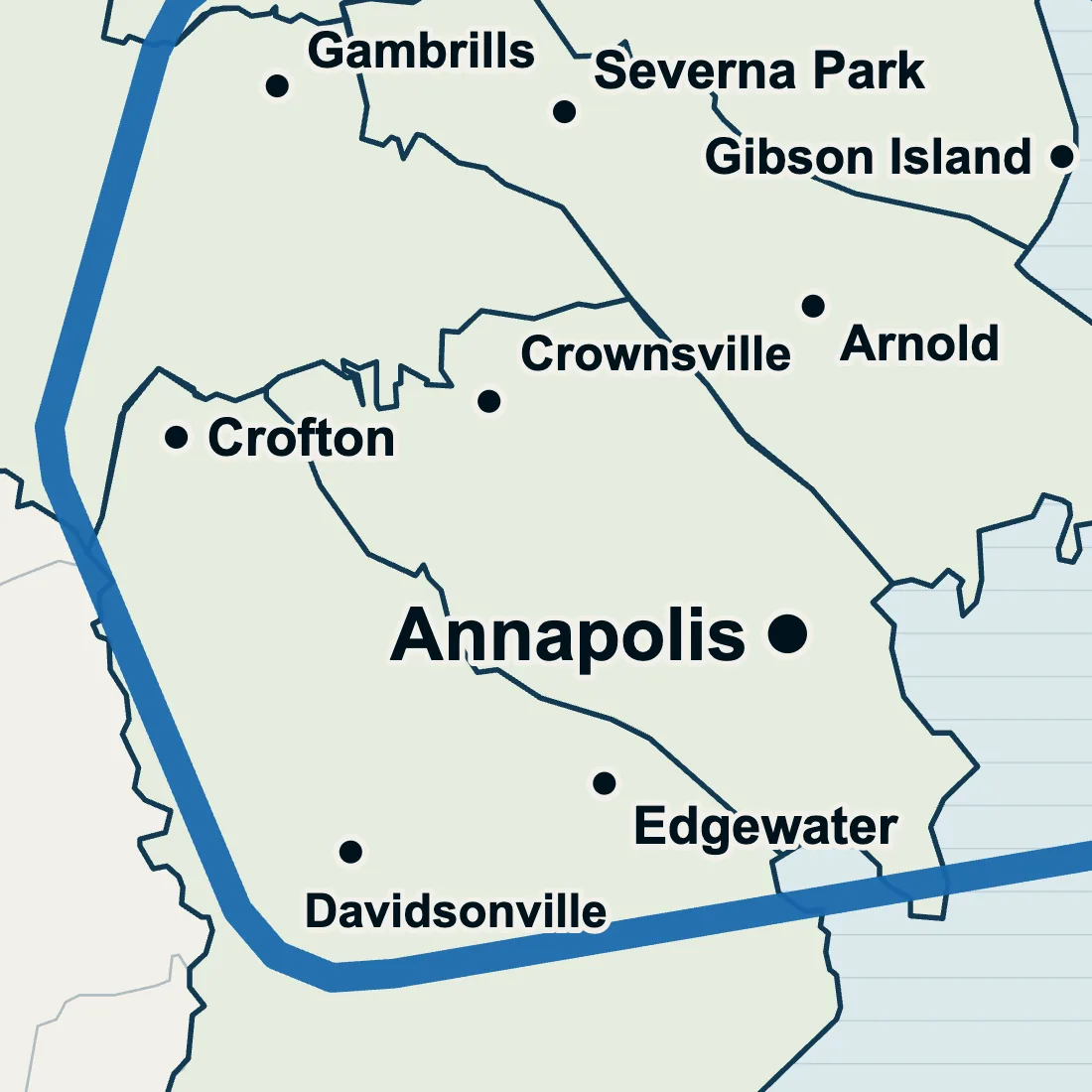
Crofton yard drainage
Ridge Road and the two rivers.
Kent Island, asked and answered
Is there a stormwater fee on Kent Island like in Anne Arundel County?
Not under the 2012 state law. Maryland's 2012 stormwater fee law applied to the nine largest counties and Baltimore City: Anne Arundel County was on that list and Queen Anne's County was not. Our yard drainage estimate is free on both sides of the bridge.
Which side of Stevensville drains better?
The western side, going by soil sample points: well drained Unicorn and Sassafras loams turn up on Stevensville's western side, while several points to the north and east sit on poorly drained Othello and Whitemarsh silt loams. A soil map is an average, not a test of your yard, so tell us what you see after rain.
Does Chester have more water to deal with than Stevensville?
Inside its boundary, yes. The Census counts about 4.5 square kilometres of water inside Chester's boundary, about a quarter of its area, while Stevensville's boundary holds none, though its line still reaches creek edges. A yard's own puddles come from its shape and its downspouts, which is what a drainage quote looks at.
Can you build a dry creek bed near Cox Creek?
Send the address and we will look. Cox Creek runs through both Stevensville and Chester, and a yard near it is priced from what you tell us, or after a walkthrough if the lie of the ground needs seeing. Say how close the creek is when you write.
Get a free estimate.
Give the street in Stevensville or Chester and what the yard does after a hard rain. An answer follows by text or a call.