Yard drainage on the Annapolis Neck.
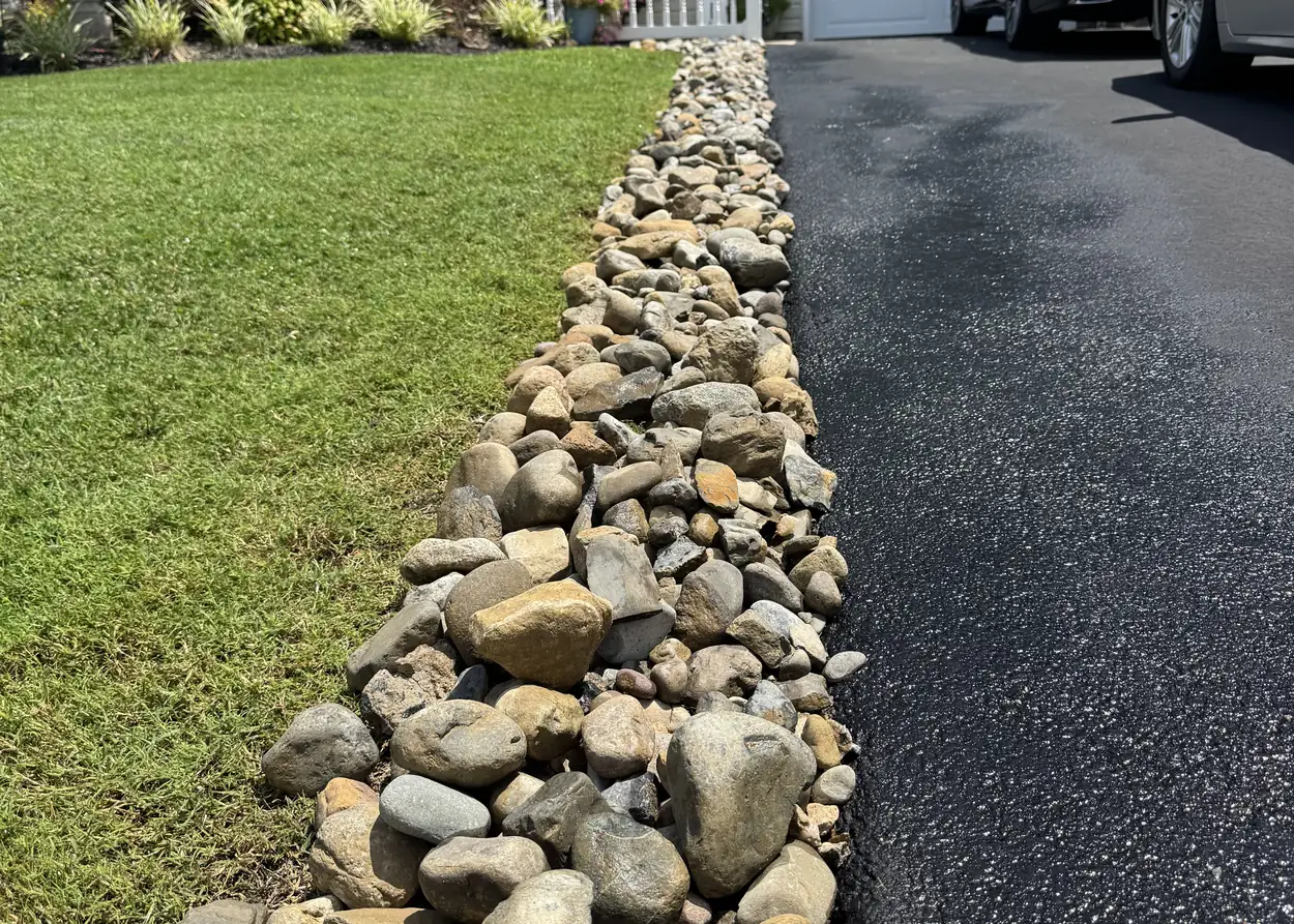
Parts of the Neck are in FEMA's coastal flood zones. Inland, rain still pools wherever a yard lets it, and we build the rock channel that moves it on.
- Insured
- Free estimates
- Locally owned
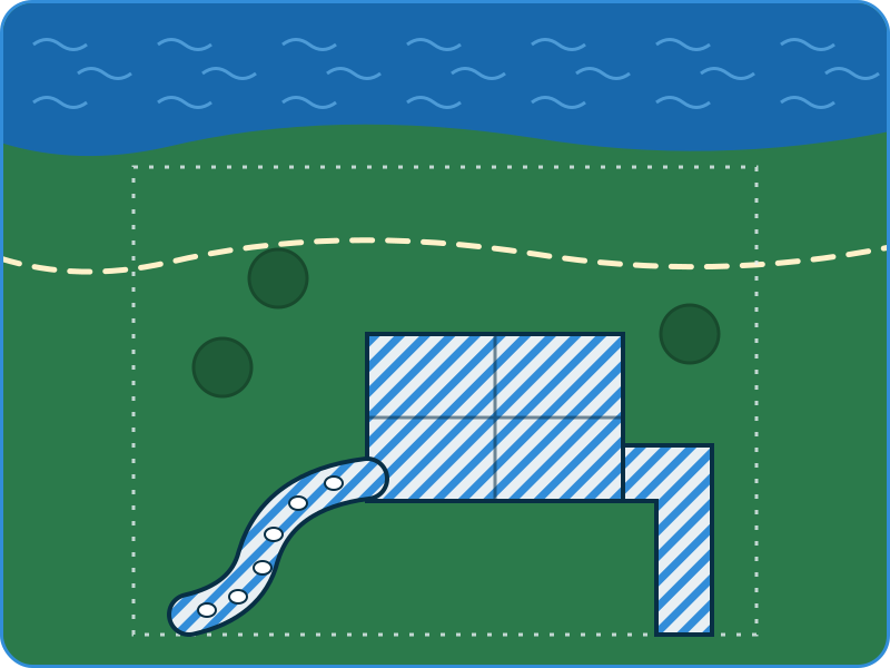
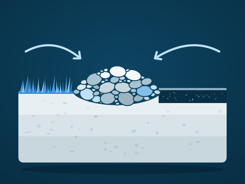
Water from two directions
6 to 11 feet
are the base flood elevations of the coastal VE zones on parts of the Annapolis Neck, on FEMA's effective flood maps.
- 3 districts Annapolis Cove, Arundel on the Bay and Bay Ridge: shore erosion control districts, where a county tax pays for shoreline work.
Is there a yard drainage company for the Annapolis Neck?
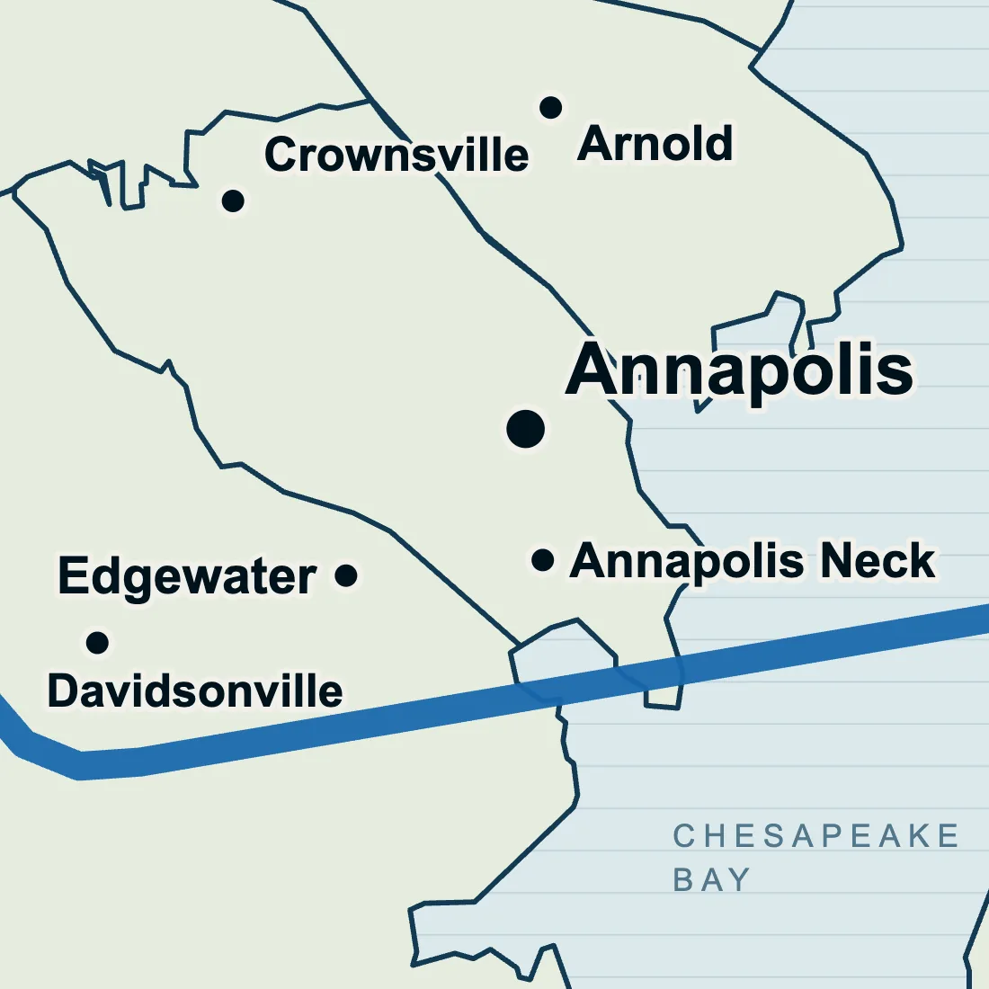
Yes. We cover the whole Annapolis Neck south of the city line, Hillsmere Shores, Bay Ridge and Highland Beach included. Tell us where the water collects and how long it stays after rain, and you get a price for a dry creek bed or rock channel. Pricing it costs nothing, by text or on a walkthrough.
Sources: Maryland iMap's FEMA floodplain layer, Anne Arundel County Council Bill 34-24, Anne Arundel County Planning and Zoning, USDA soil series descriptions and the Hillsmere Shores Improvement Association. Checked on 11 October 2026.
Near the water, two county rules.
Gravel counts as cover
In the Critical Area, gravel, stone and pavers count as lot coverage, just like a driveway, and so may a rock channel.
Grading in the Buffer
Grading or filling inside the Buffer needs a buffer management plan, and disturbing more than 5,000 square feet also needs a county grading permit.
Drainage south of the city, and past it.
Yard drainage
What a drainage quote covers.
Annapolis Neck
Mowing, gutters and December lights.
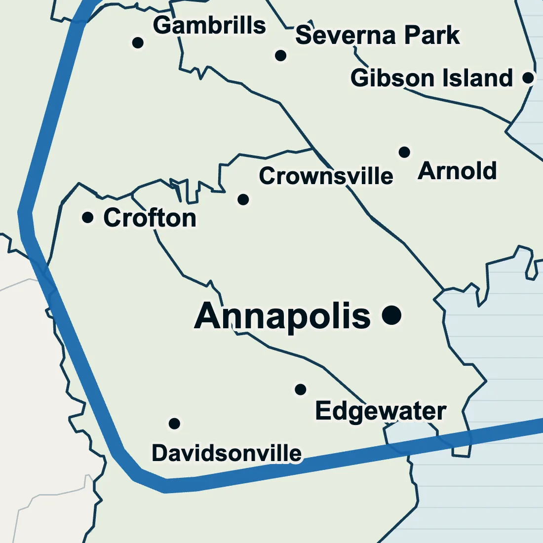
Crofton yard drainage
2,734.8 acres rated well drained.
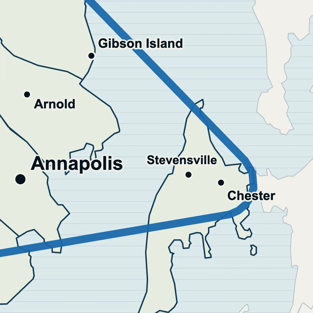
Kent Island yard drainage
Soil groups C and C/D across the Bay.
Wet yard questions from the Neck
Is the soil under my Hillsmere yard the Hillsmere soil on the map?
No. The soil survey names an underwater soil of the South River after Hillsmere Shores, and another underwater soil off the Neck is named for Duvall Creek. Both are mapped under water, not on land, so neither says anything about your lawn; the lie of the lot and where the roof sheds its rain are what a drainage quote looks at.
What are the stakes along Hillsmere's roads for?
They mark the road curbs and the storm drains. Hillsmere's rules forbid shoveling snow onto the roads and pulling up the stakes that mark curbs and storm drains. If the water in your Hillsmere yard heads for one of those drains, say so when you ask about drainage.
Can a rock channel keep the Bay out of a Bay Ridge yard?
No. River rock drainage carries rain and roof water off a lawn or away from a drive; it does nothing against tidal water coming in. Shoreline work is a different trade: Hillsmere, for one, has completed a living shoreline at the Sand Spit by its marina; the ribbon cutting was set for September 10, 2026.
Does Hillsmere's special district tax cover yard drainage?
No. Hillsmere Shores is a county special benefit district, so owners pay an added tax, set per lot, that keeps up its shared property. A rock channel on your own lot is your own project, and our estimate for it is free.
Get a free estimate.
Send the Neck address and say where the water stands and for how long. Some jobs we can price from that alone.